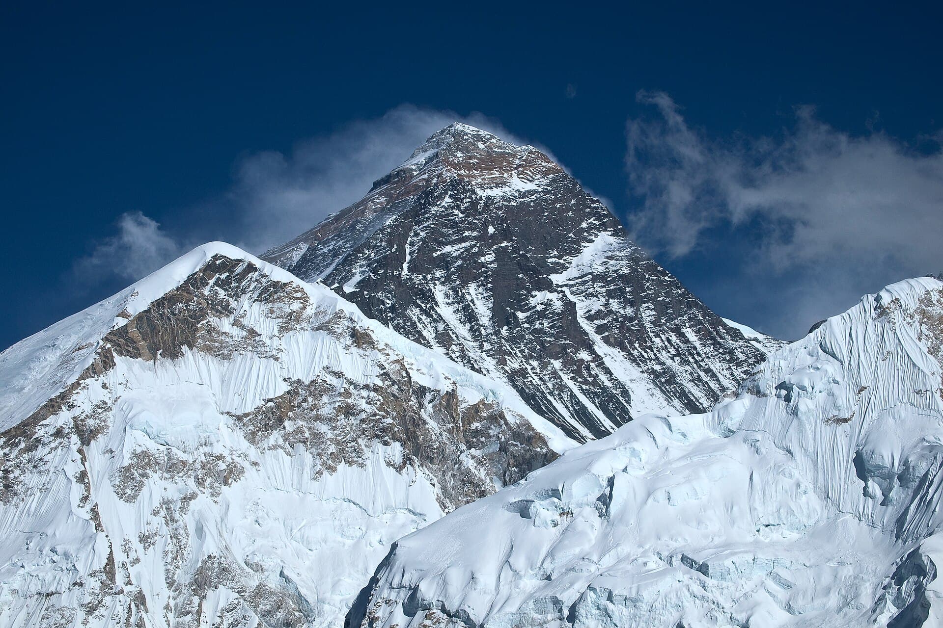
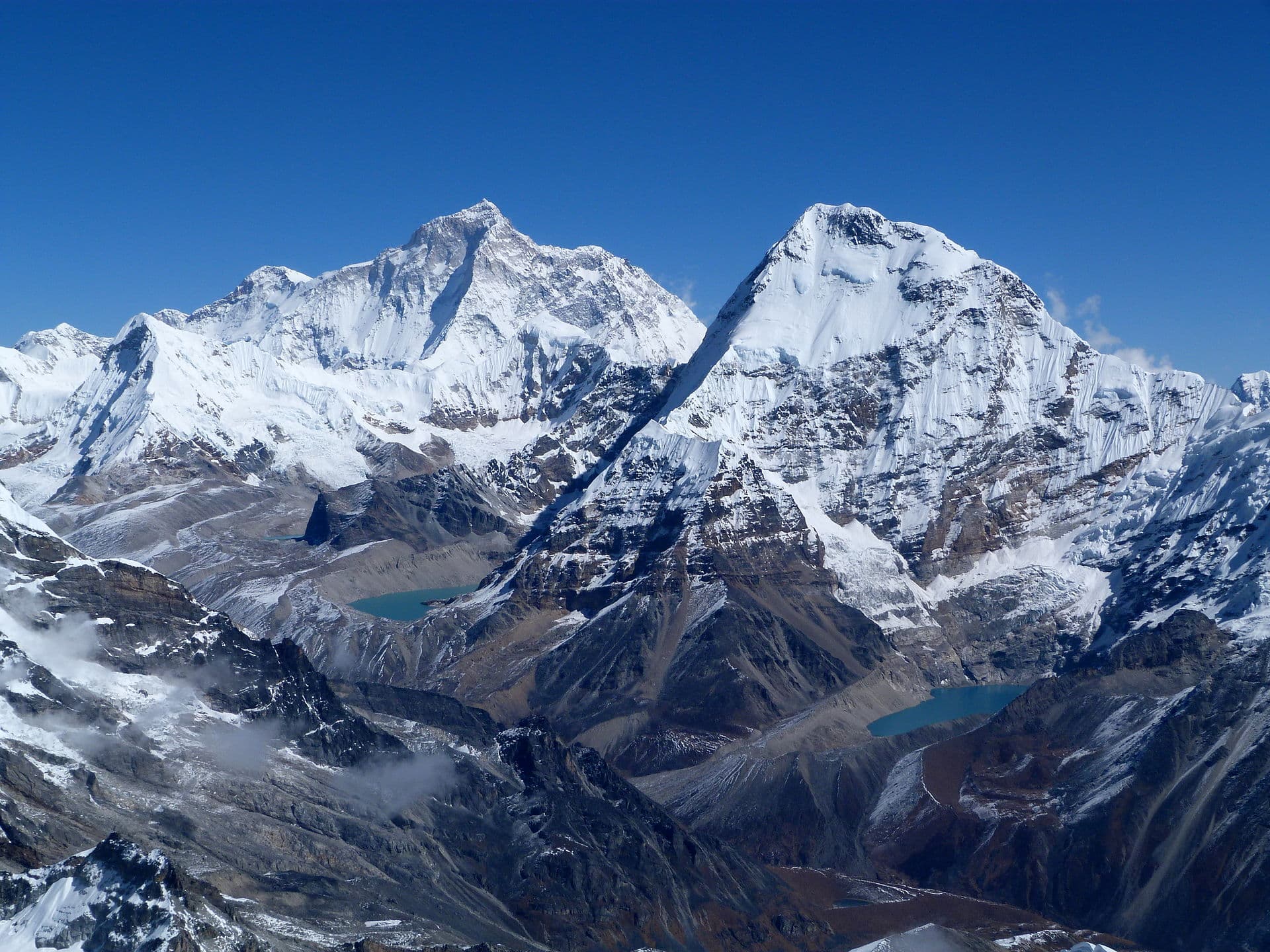
Mount Everest and the peaks of the Khumbu in Sagarmatha National ParkPhoto: Vyacheslav Argenberg · CC BY 4.0

National Parks / Mountain / Sagarmatha

UNESCO World Heritage Site · Est. 1976

Sagarmatha

Home of Mount Everest — a national park of glaciers, deep valleys and the highest mountains on Earth, in the Khumbu region of eastern Nepal.

8,849
Metres — summit of Everest
1,148
km² area
1976
Established
1979
World Heritage

Sagarmāthā — the Nepali name for Mount Everest, meaning "head of the sky" — is a national park in the Himalayas of eastern Nepal, established in 1976 and inscribed as a UNESCO World Heritage Site in 1979.

The park encompasses 1,148 km² of the Solukhumbu District and ranges in elevation from about 2,845 m in the lower valleys to 8,849 m at the summit of Everest. To the north it shares the international border with the Qomolangma National Nature Preserve of Tibet; to the east it adjoins Makalu Barun National Park; and to the south it extends to the Dudh Koshi river. A buffer zone of about 275 km² was added in 2002, and the park is part of the Sacred Himalayan Landscape.

Beyond Everest, the park holds more than 90 peaks — among them Lhotse, the world's fourth-highest, plus Cho Oyu, Nuptse, Ama Dablam, Thamserku and Pumori. Its glaciers, high-altitude lakes and deep valleys feed the Dudh Koshi and Bhote Koshi rivers.

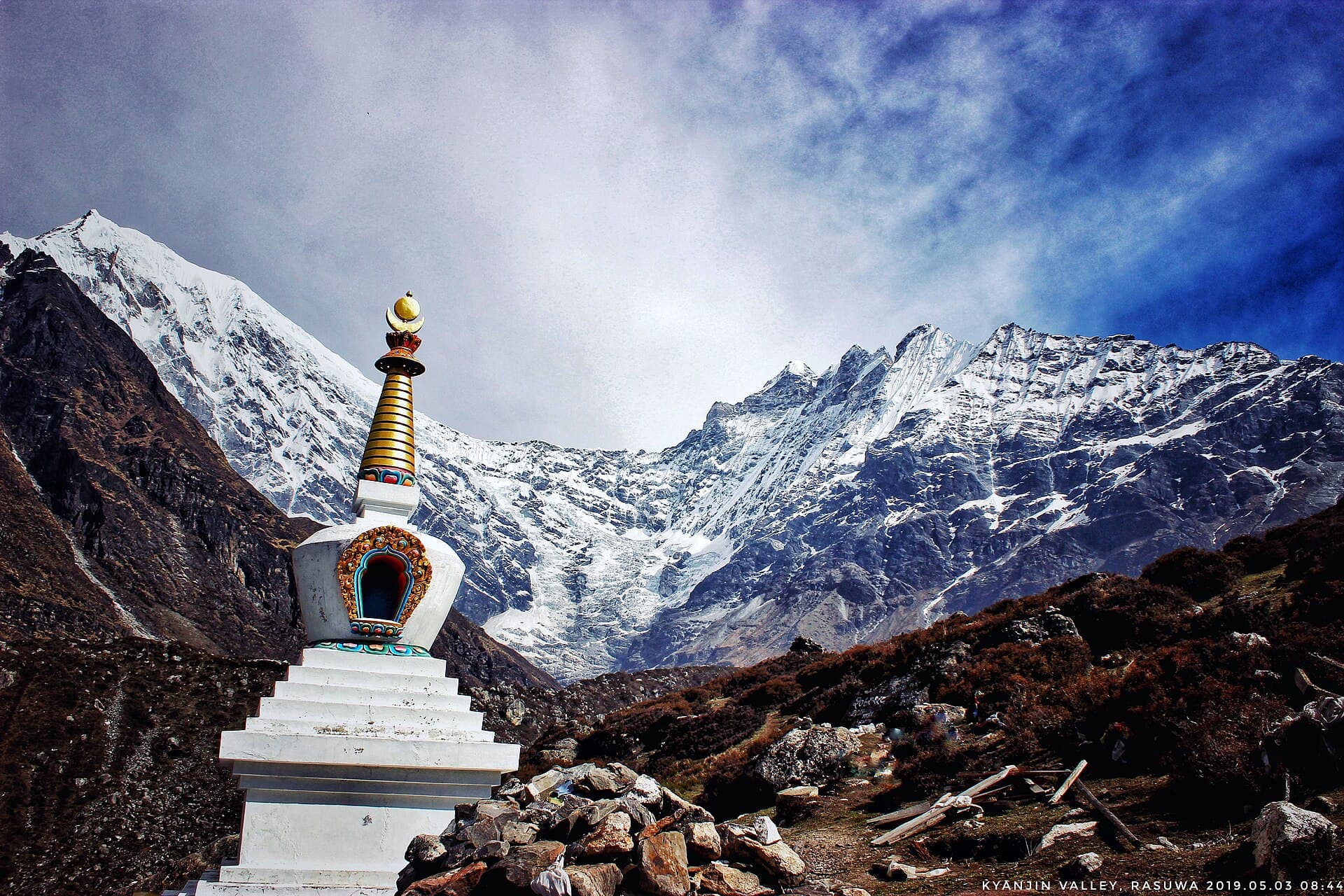
Glaciers and high peaks in Sagarmatha National ParkPhoto: Vyacheslav Argenberg · CC BY 4.0

The Landscape

A vertical world

The terrain is dominated by rugged Himalayan relief — only about 3% of the park is forested, around 28% is grazing land and sparse vegetation, and nearly 70% is barren rock, ice and the high mountains themselves. The Gokyo Lakes, within the park, were listed as a Ramsar wetland of international importance in 2007.

Wildlife

Life at altitude

The park shelters rare high-Himalayan mammals adapted to one of the harshest environments on Earth.

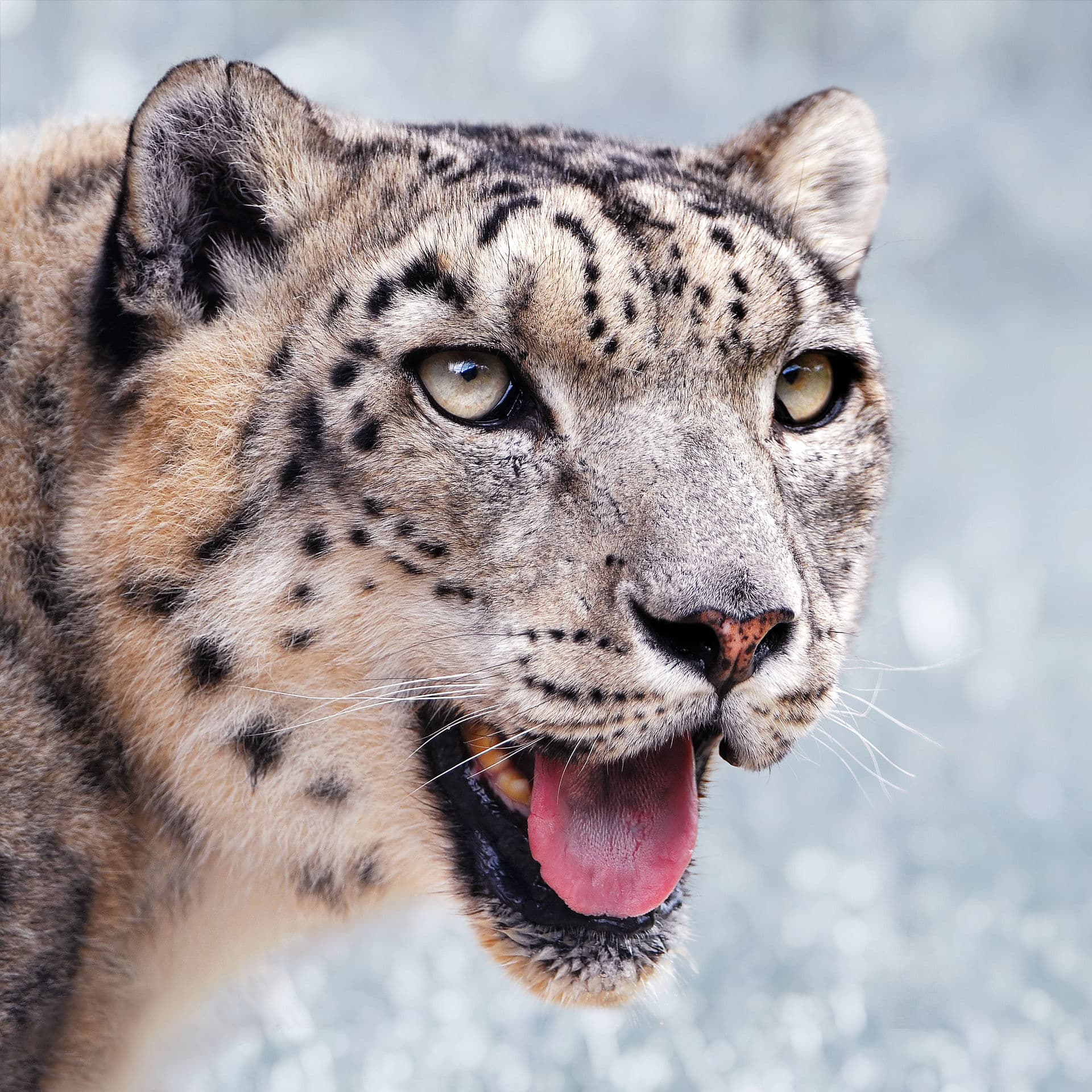
A snow leopardPhoto: Tambako The Jaguar (edit by Niabot) · CC BY-SA 2.0

Snow Leopard

Panthera uncia

The elusive ghost of the high mountains, hunting tahr across the steep slopes.

Vulnerable
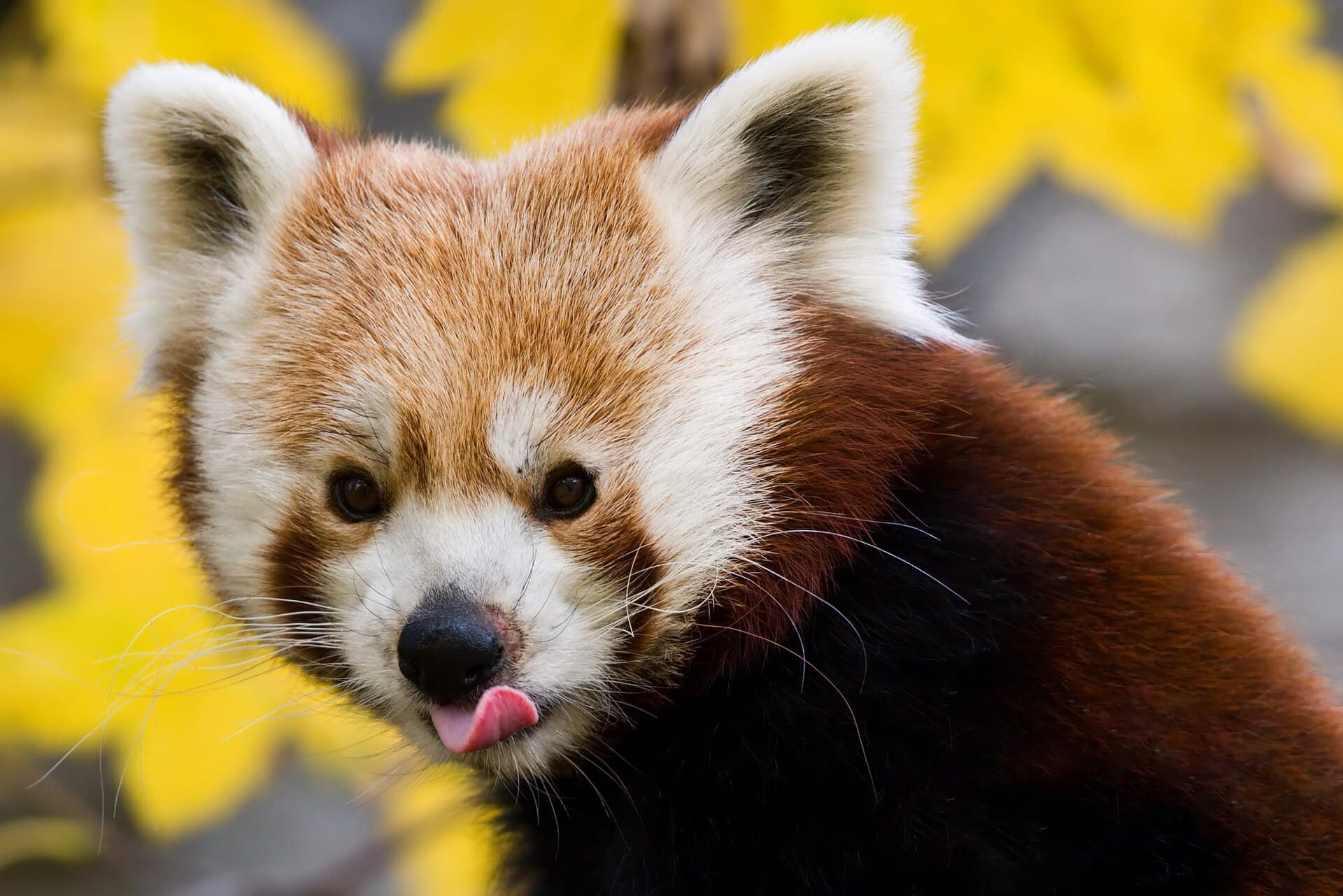
A red panda in a treePhoto: Christian Mehlführer (edit by Böhringer) · CC BY 2.5

Red Panda

Ailurus fulgens

A shy resident of the park's rhododendron and birch forests near Namche and Tengboche.

Endangered
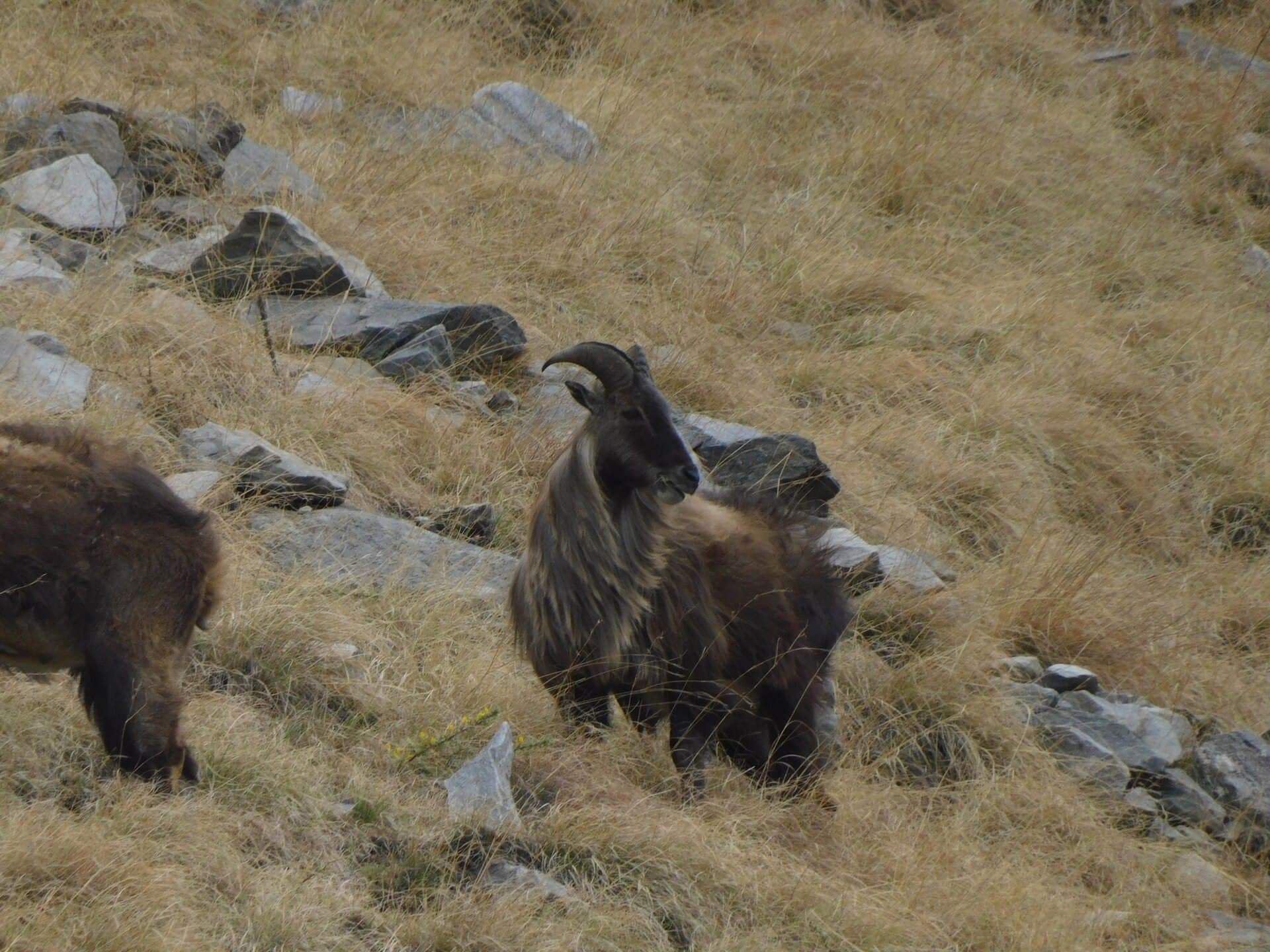
A Himalayan tahr on a rocky slopePhoto: Jagdish Singh Negi · CC BY 4.0

Himalayan Tahr

Hemitragus jemlahicus

A robust wild goat of the precipitous rocky slopes — key prey for the snow leopard.

Near Threatened
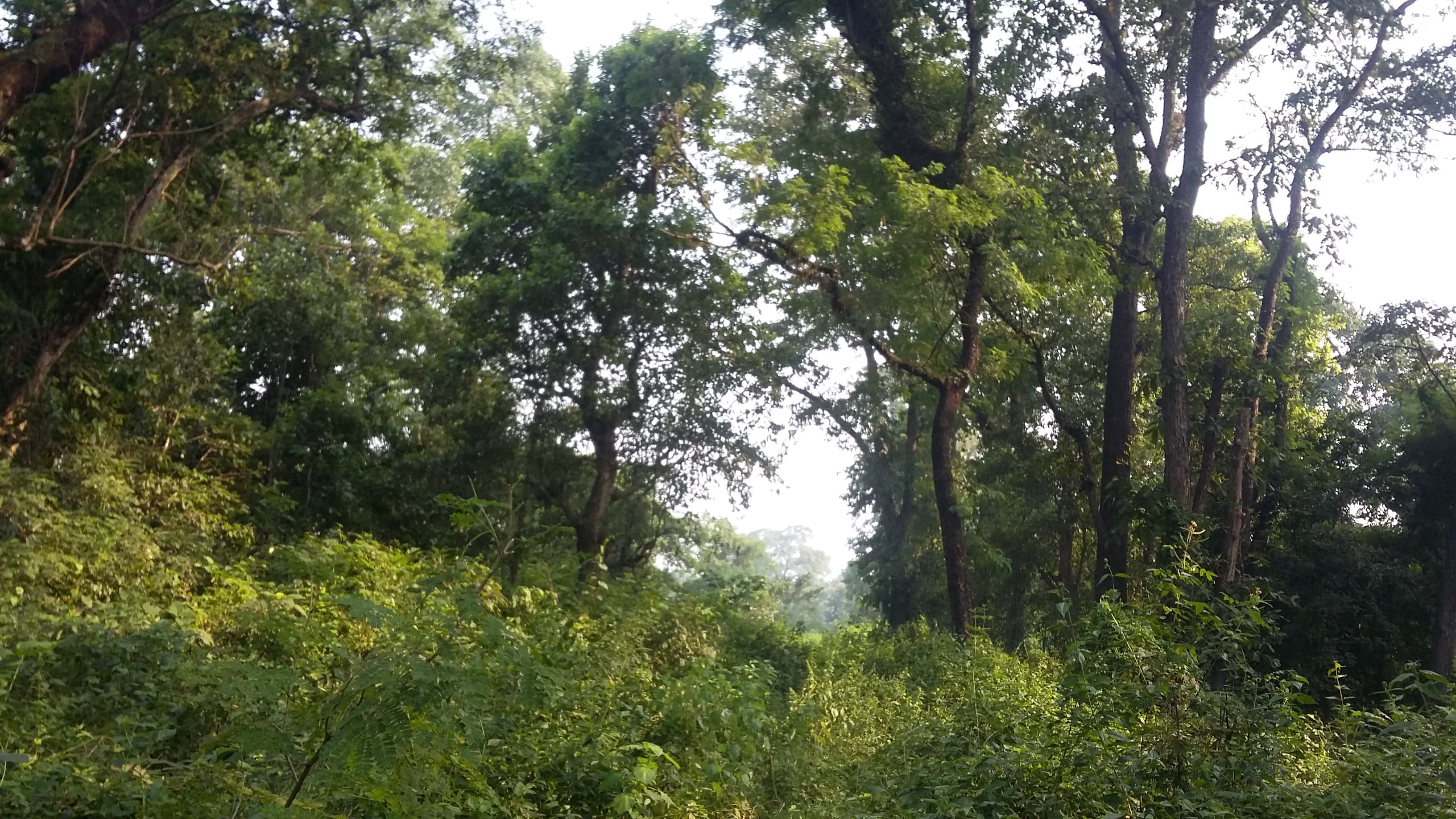
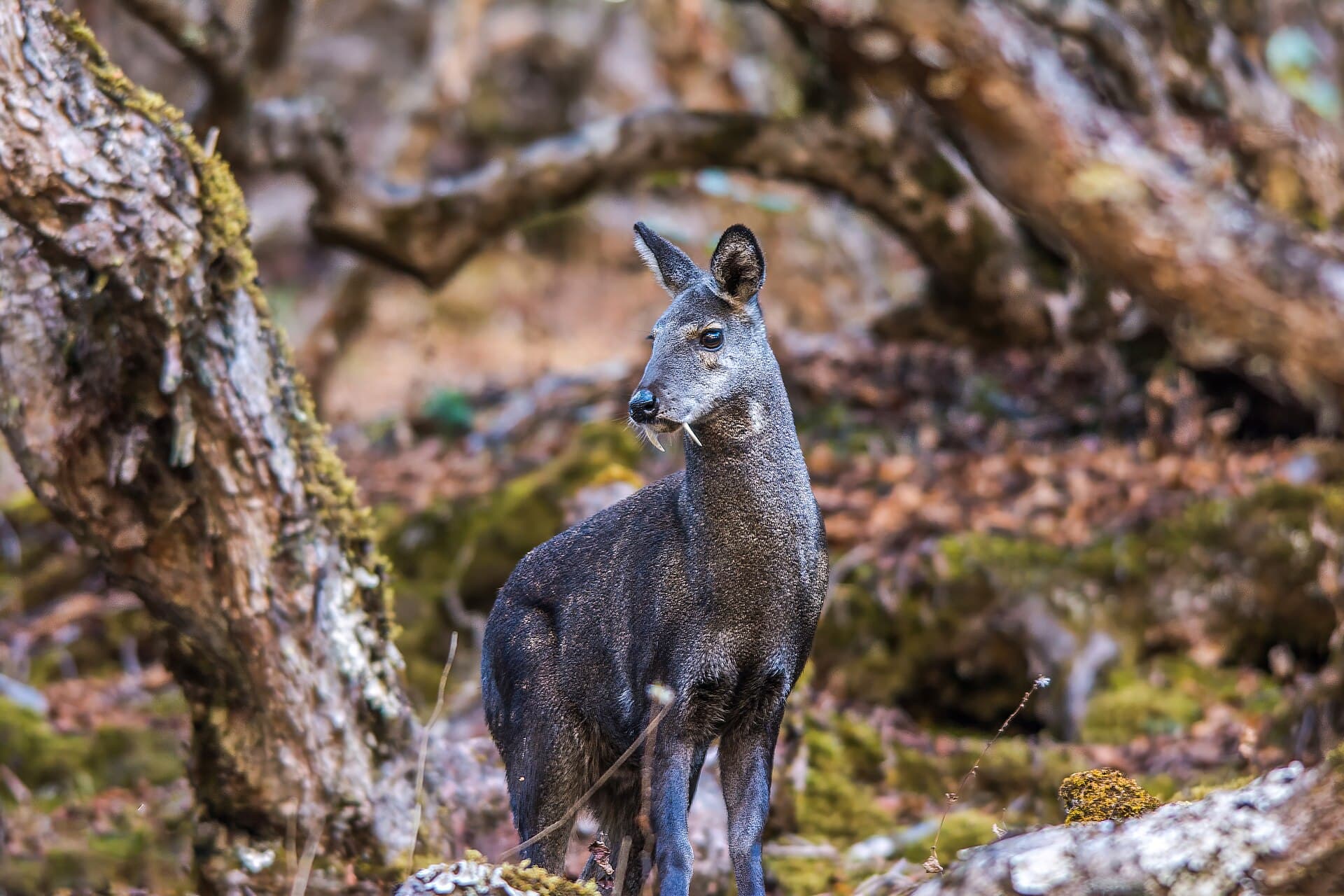
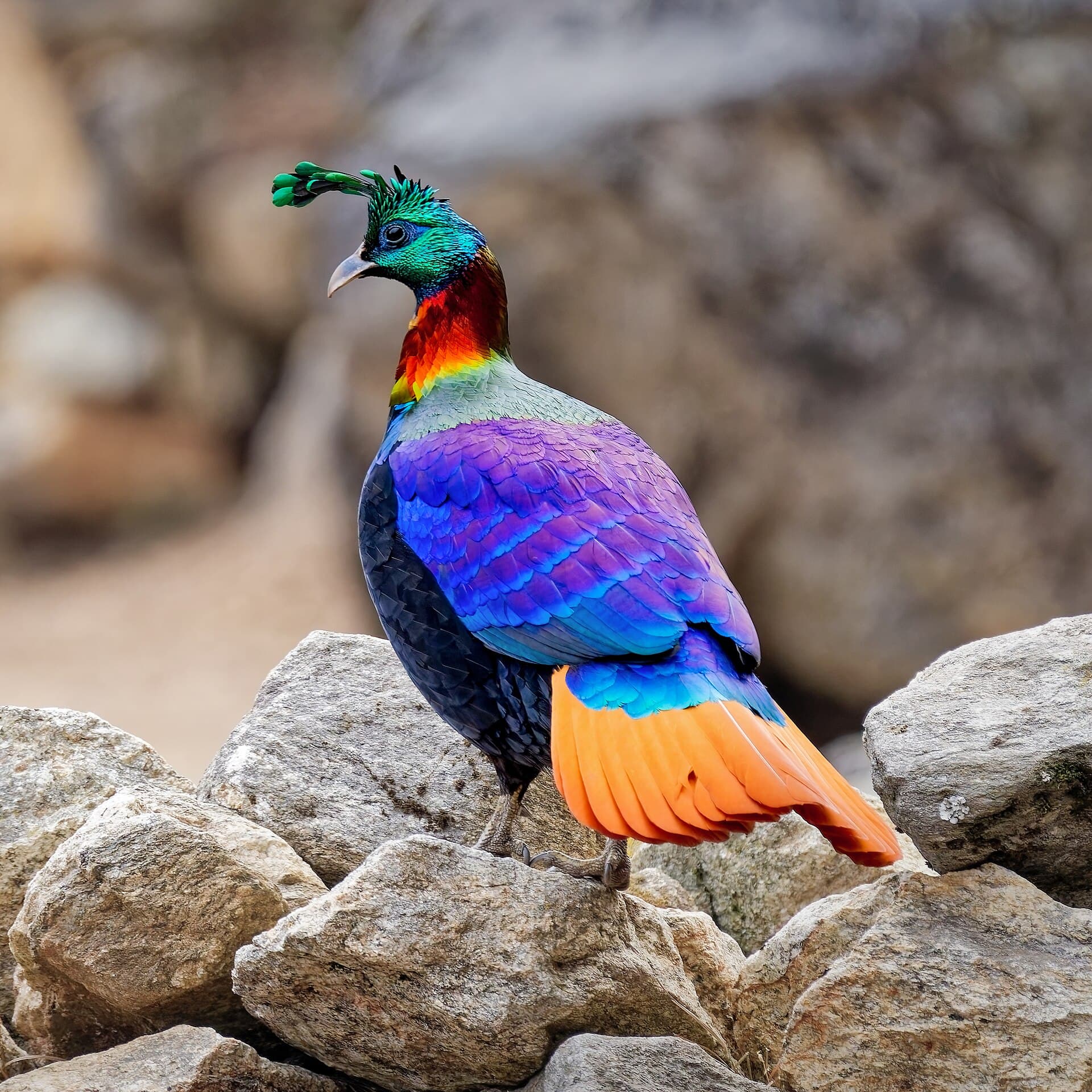
Also present: Himalayan black bear, musk deer, Himalayan wolf, langur monkey and marten. Around 118–200 bird species have been recorded, including the Himalayan monal (Nepal's national bird), blood pheasant, snow pigeon and yellow-billed chough.
Rhododendron and conifer forest in the lower KhumbuPhoto: Bharatadhikarimb · CC BY-SA 4.0

Flora

From forest to ice

The small forested band in the lower park holds blue pine, fir, hemlock, juniper, birch and rhododendron, with bamboo in places. Above the treeline, vegetation gives way to alpine scrub, dwarf rhododendron and a carpet of lichens and mosses, before the barren rock and permanent snow of the high zone.

A Sherpa village in the Khumbu regionPhoto: Nirojsedhai · CC BY-SA 4.0

The Sherpa People

A living mountain culture

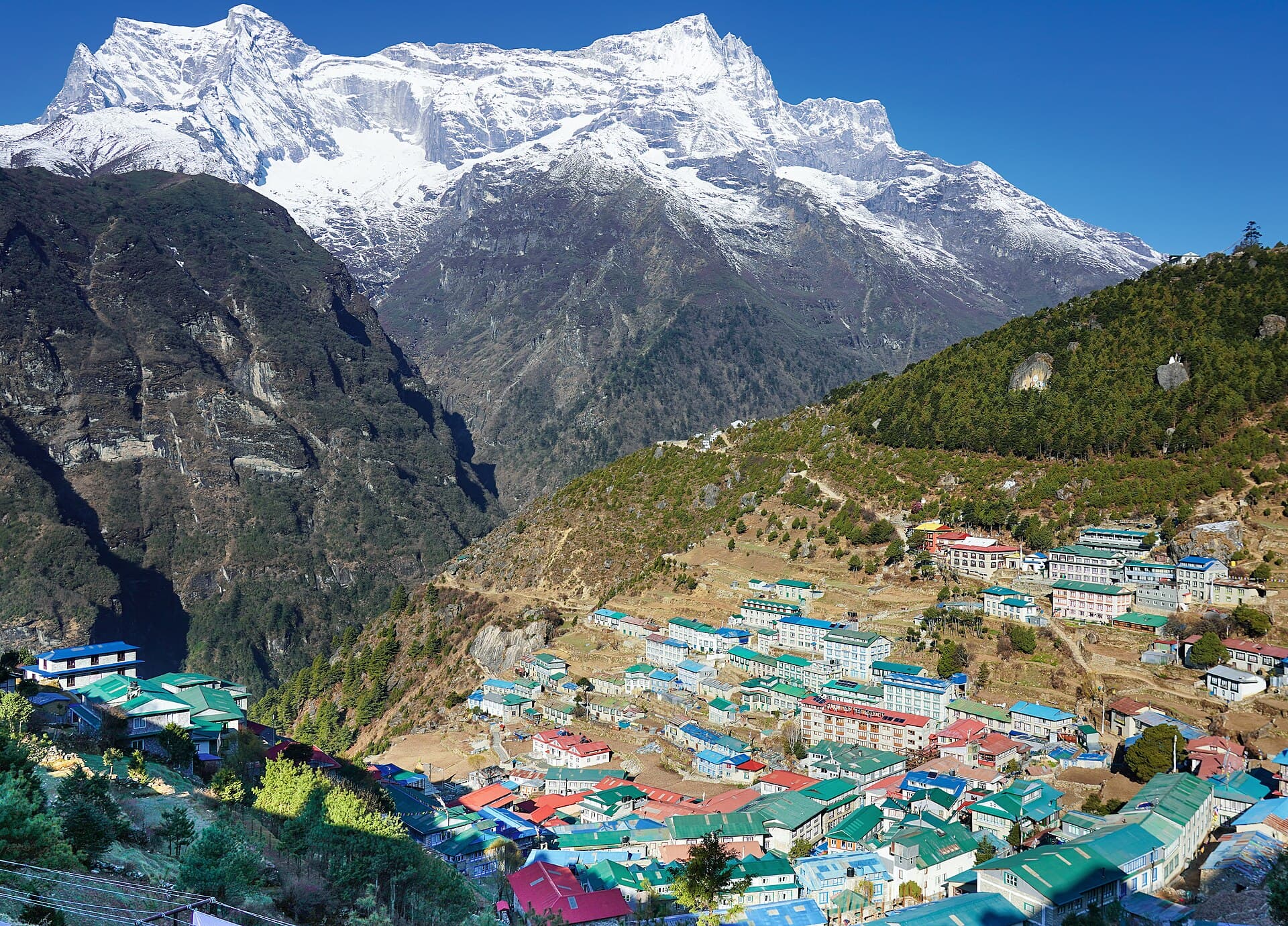
Long before the park's recognition, the Khumbu was home to the Sherpa — an indigenous community renowned for their mountaineering skill and deep spiritual connection to the Himalaya. Villages such as Namche Bazaar, Khumjung, Tengboche and Thame anchor the park, with ancient monasteries and sacred sites woven through the landscape. Sherpa communities play a central role in conservation, forest management and the stewardship of the high valleys.

Visiting

Trekking the roof of the world

The park is the great prize of Himalayan trekking, reached on foot from the airstrip at Lukla.

Everest Base Camp

The classic trek winds from Lukla through Namche Bazaar, Tengboche and Dingboche to base camp and the viewpoint of Kala Patthar (5,545 m).

Gokyo Lakes

An alternative high route to a string of turquoise glacial lakes and the panorama from Gokyo Ri.

Permits

Entry permits and a TIMS card are required. Stay on designated trails; hunting, logging and littering are prohibited.

Altitude is serious here — acclimatisation is essential and altitude sickness can be life-threatening. The best seasons are spring (Mar–May) and autumn (Sep–Nov). Trek with experienced guides and confirm current permit rules.

Reference

Facts at a glance

Location
Solukhumbu District, Koshi Province, eastern Nepal
Area
1,148 km² + 275 km² buffer zone
Elevation
2,845 m to 8,849 m (summit of Everest)
Established
19 July 1976
World Heritage
1979 (Ref. 120) · Criterion vii
Gateway
Lukla (airstrip) → Namche Bazaar
IUCN category
II (National Park)
Governing body
Department of National Parks and Wildlife Conservation
The Everest massif

Explore more of Nepal's parks

From Everest to the Terai grasslands — thirteen parks, one extraordinary country.