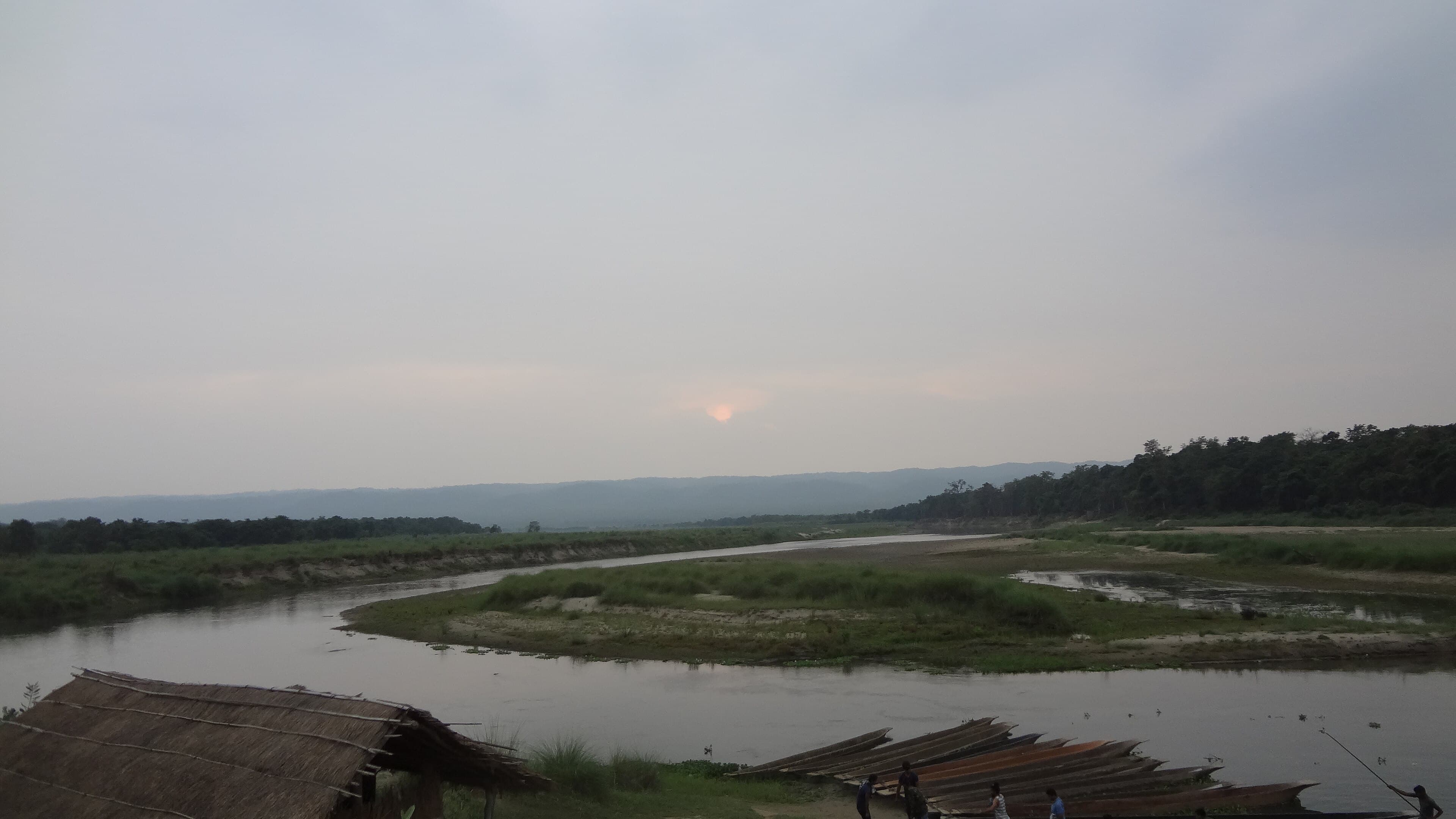
 Photo: Nihaal Moktan · CC BY-SA 4.0
Home / Regions & Map
Know the Landscape
Regions & Map
From the tourist gateway of Sauraha to the park headquarters at Kasara and the wild Churia Hills — find your bearings.
Interactive Map
Explore Chitwan
Pan and zoom the map, and tap the markers for gateways, rivers, wetlands and cultural sites. Map data © OpenStreetMap contributors.
The Regions
Areas of the park
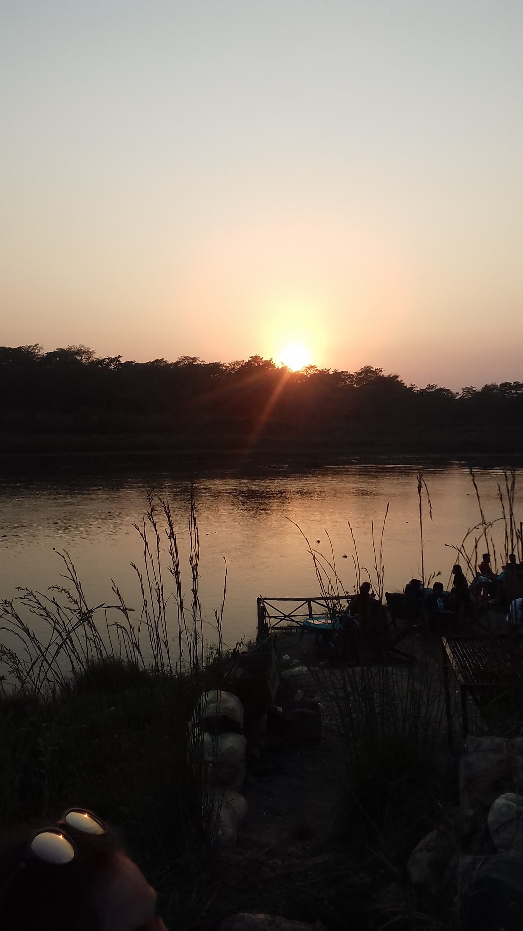 Photo: Sabina Bajracharya · CC BY-SA 4.0
Sauraha
The main eastern gateway and traveller base, on the Rapti River. Once a small Tharu village, now home to lodges, the elephant breeding centre and the cultural museum.
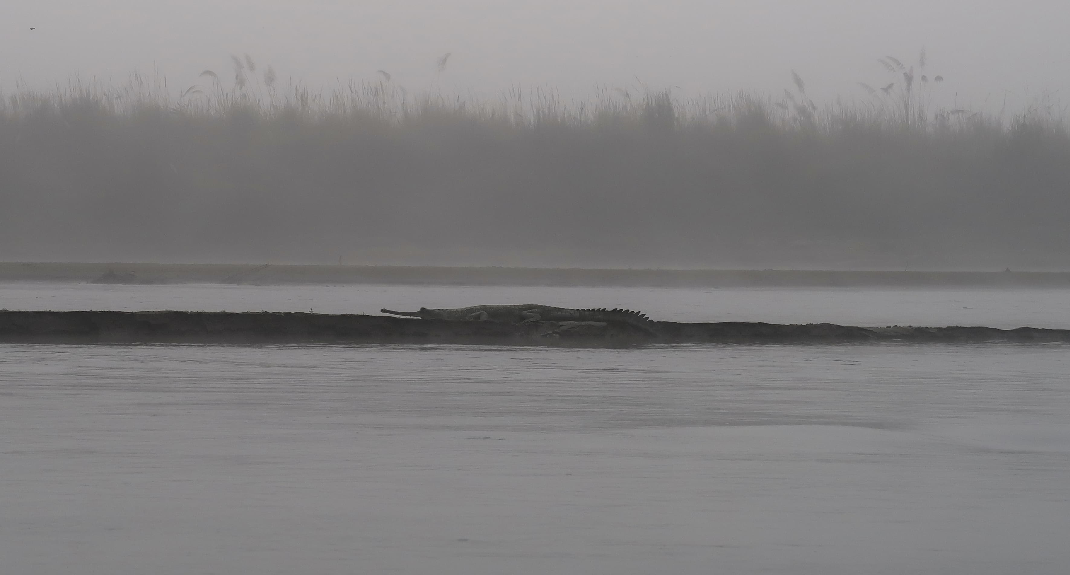 Photo: Rucksackschule-dresden · CC BY-SA 4.0
Kasara
The park headquarters, with the Gharial Breeding Centre nearby and the Bikram Baba pilgrimage shrine within the park.
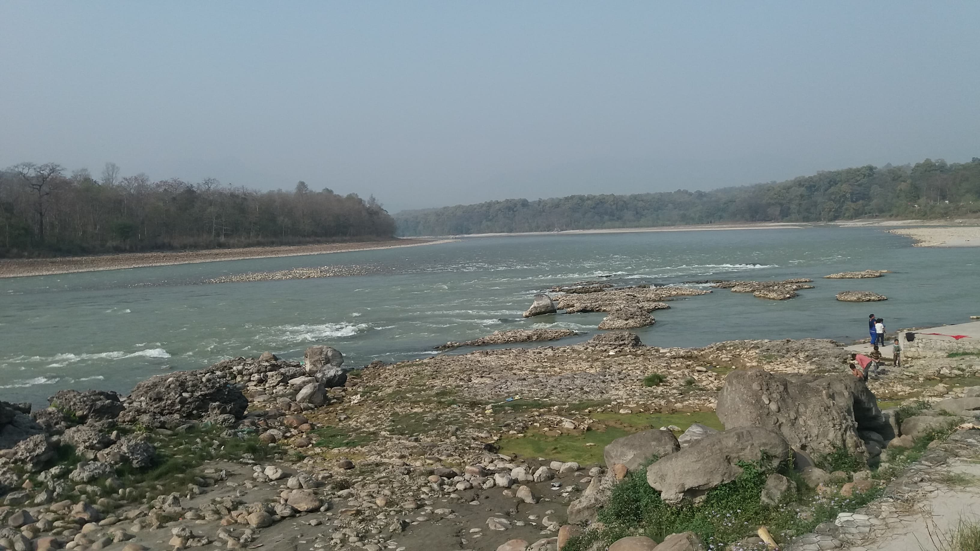 Photo: श्रेष्ठ भूपेन्द्र · CC BY-SA 4.0
The Rivers
The Rapti forms the northern boundary; the larger Narayani runs to the west, home to gharial, mugger and the rare Gangetic dolphin.
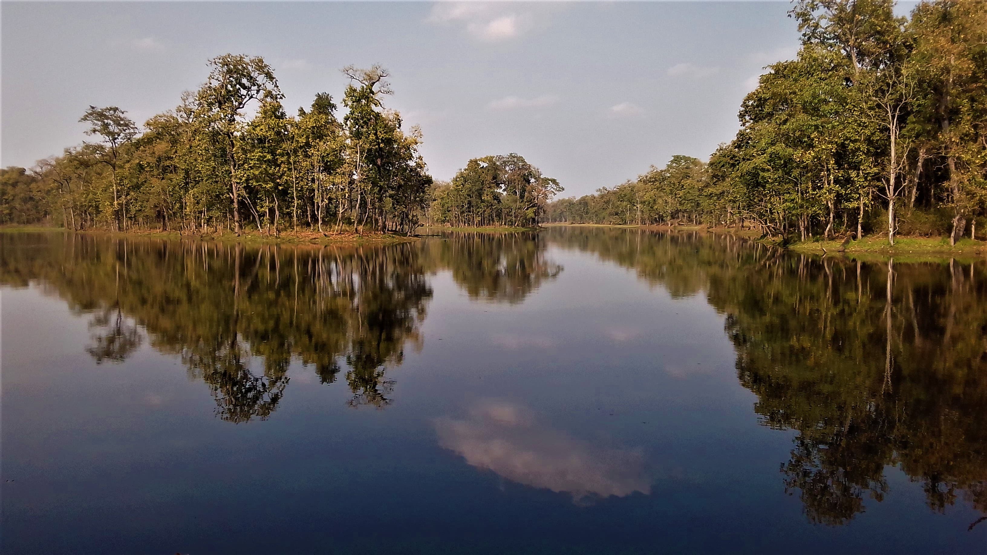 Photo: Sabina Bajracharya · CC BY-SA 4.0
Bis Hajar Tal
The "Twenty Thousand Lakes" — a Ramsar-listed wetland of oxbow lakes in the buffer zone, superb for birdwatching.
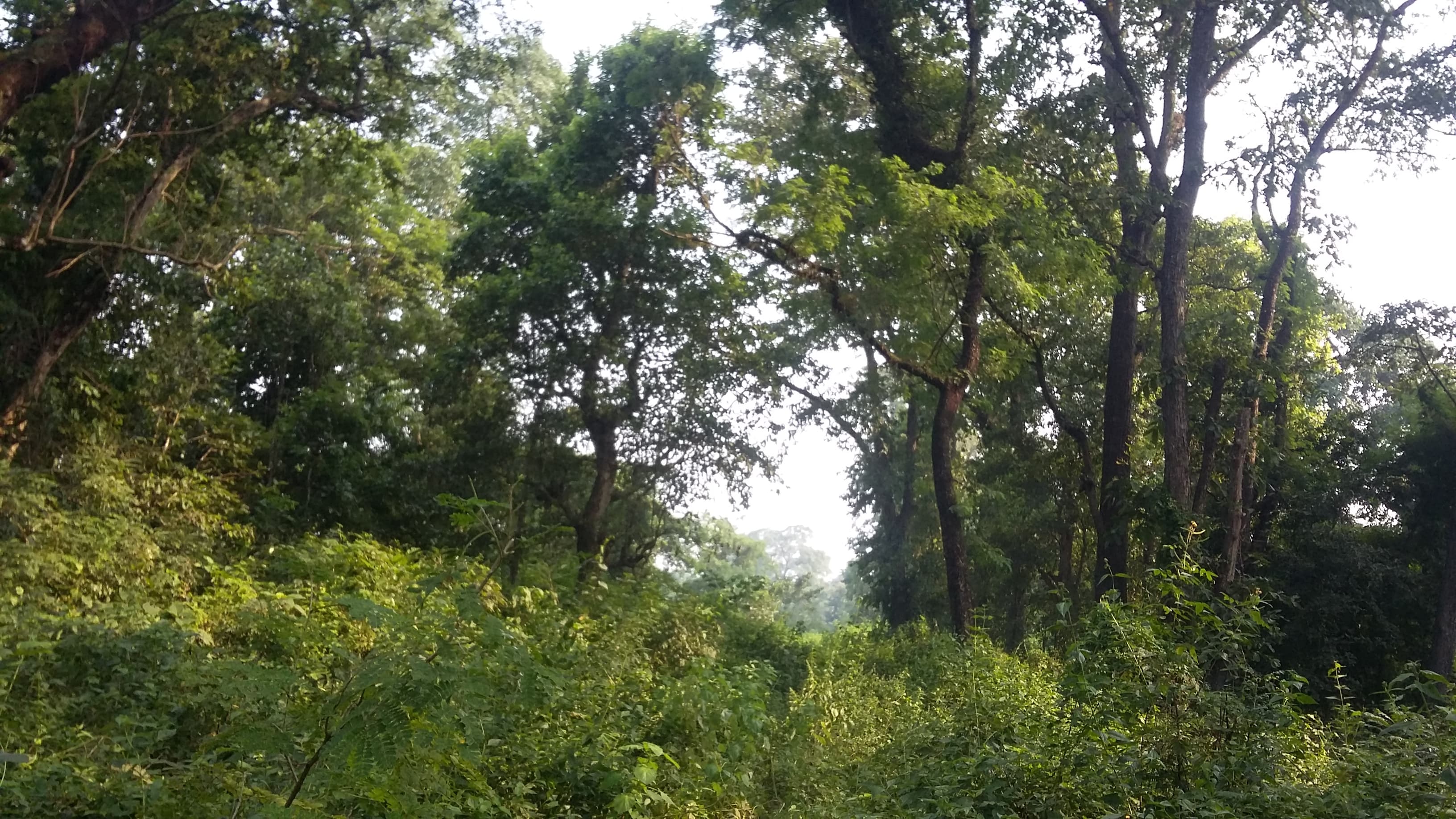 Photo: Bharatadhikarimb · CC BY-SA 4.0
Churia (Siwalik) Hills
The forested southern hill range rising to 815 m, cloaked in sal and, higher up, chir pine.
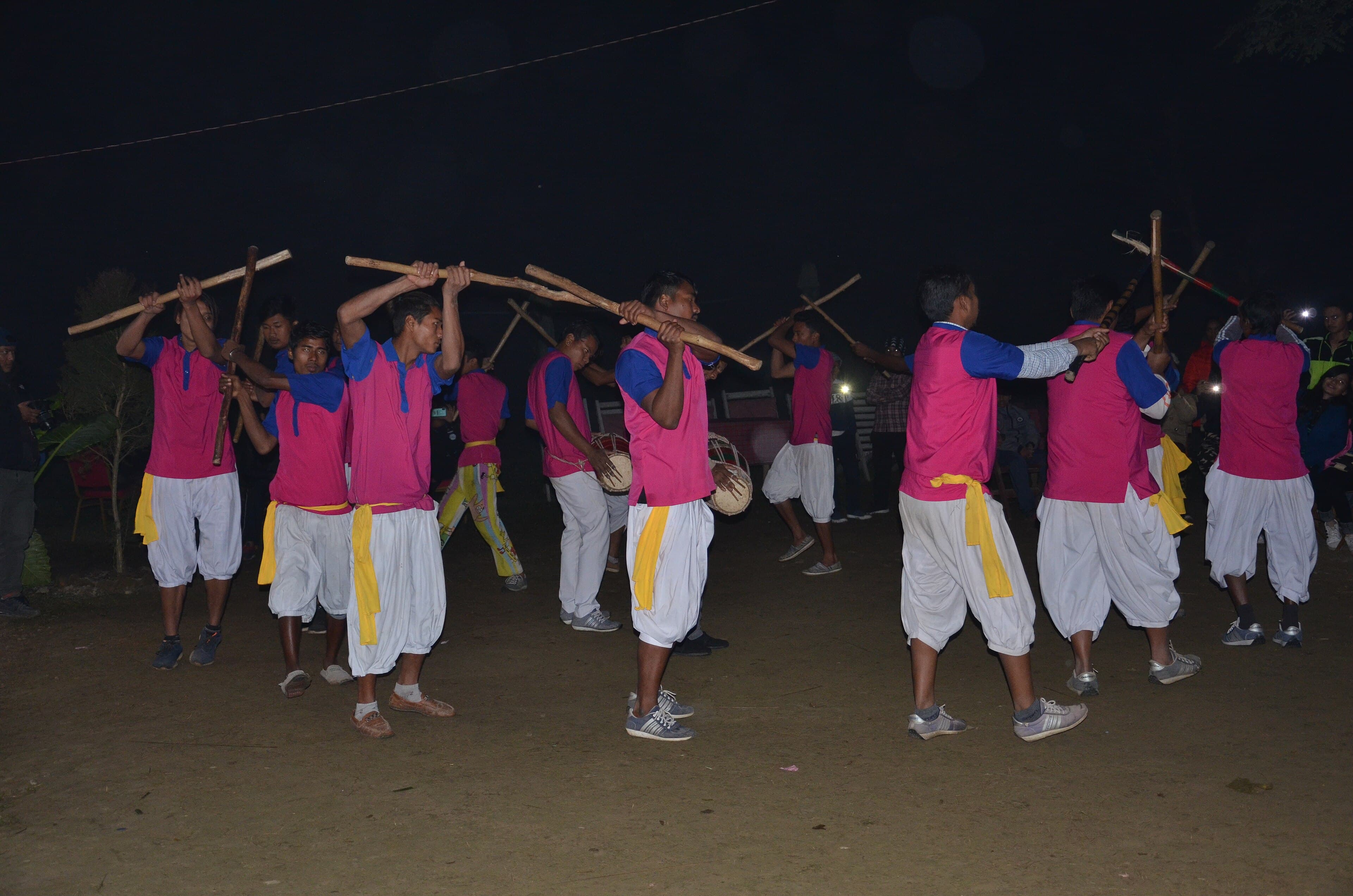 Photo: Pratap Baniya · CC BY-SA 4.0
Tribeni
At the park's western edge, site of the Balmiki Ashram — a Hindu pilgrimage place drawing devotees from Nepal and India.
Plan your route in
Getting there, when to come, and how to stay safe in big-game country.